Grade beside the geology
Assay tracks on the same depth as lithology, alteration and recovery, hole by hole.
Diamond core and RC programs produce rig telemetry, logging sheets and assays in different files and at different times. BoreWatch reads them into one hole view and keeps every hole of the program comparable.
Free trial up to 6 months with your work email: 1 + 2 + 3 months, each step after a short feedback form. No card.
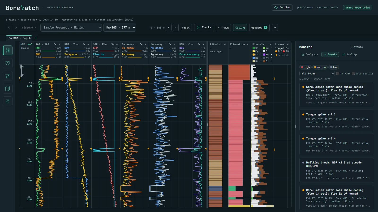
The local engine sorts the files by well, builds the tracks and flags the events as new data arrives.
Assay tracks on the same depth as lithology, alteration and recovery, hole by hole.
Head torque, thrust and water-pressure changes flagged, shown beside RQD and recovery.
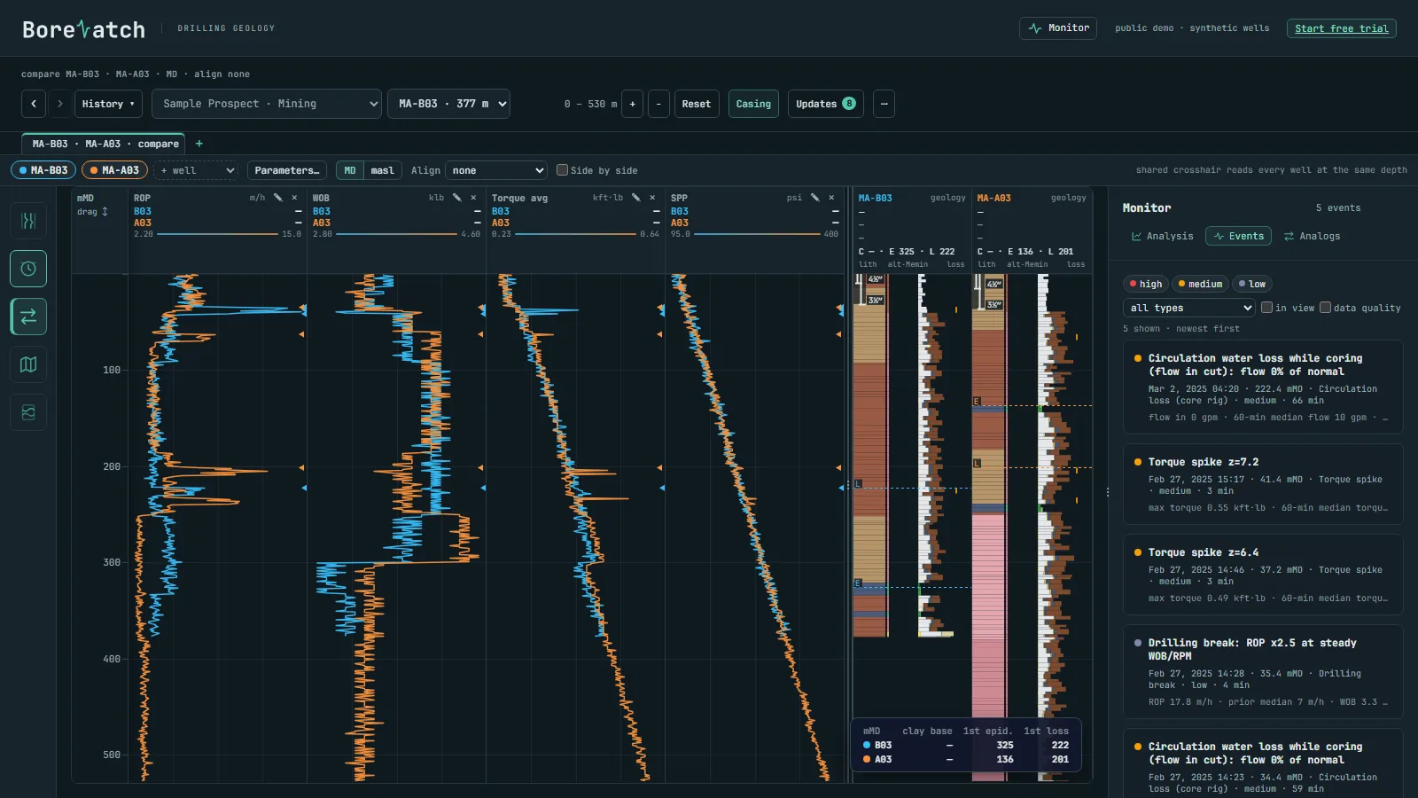
Collars and downhole paths on the map and in 3D, any track coloured along the hole; compare 2 to 10 holes.
Drop them into one folder on the Windows computer that holds the data. Column names and units are recognised automatically; the engine works out the industry of each well from its own data.
After every update the engine writes the files your modelling and log software imports: Leapfrog collar, survey, lithology and interval tables, one LAS 2.0 file per hole for WellCAD or Strater, and GeoJSON for QGIS or ArcGIS.
Only encrypted dashboard data is synced; we cannot read it.
How your data is protected →Sign-in details, license key and the installer arrive by email.
A synthetic mineral drilling field is included, so you see it working at once.
Drop your files into the folder; the dashboard fills in.